Friday 9.14.07 – Hike from Schynige Platte to First
Click on any picture below to see a larger version
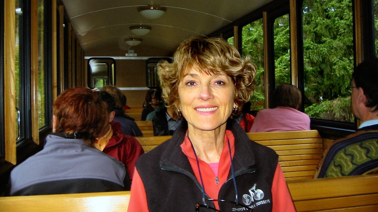

We rode the cog train from Lauterbrunnen to Wilderswil and transferred to the oldest cog train in Switzerland - the train from from Wilderswil to Kleine Schynige Platte. The train dates back to the year 1893 and was electrified in the year 1914. The cog train climbs very slowly through forest, emerging above treeline at Schynige Platte, elevation 1,967 m. This cog railway offers spectacular views of the Brienze Lake and the Jungfrau Mountain.

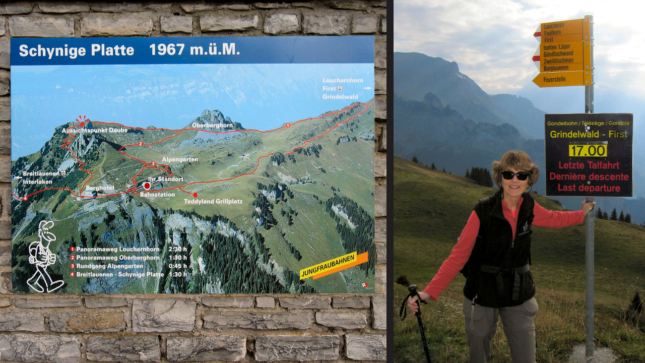
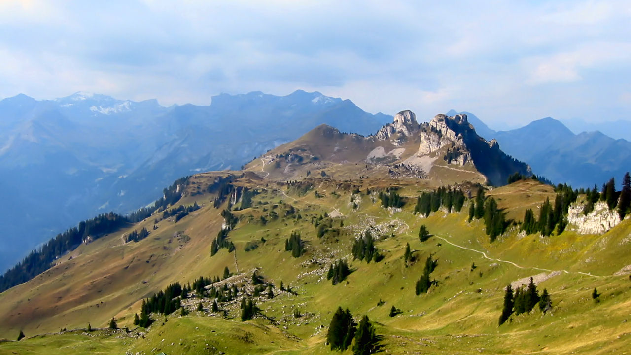
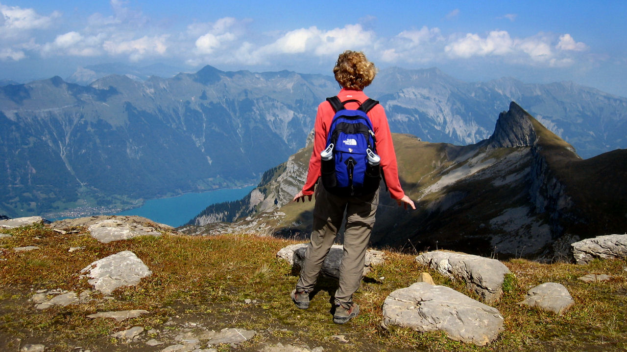
Schynige Platte sits at 4300 feet on a ridge between the lakes of Interlaken and the valleys of Grindelwald and Lauterbrunnen. The hike follows the ridge eastwards towards the Brienzersee and Grindelwald, rising up over the Faulhorn before dropping past the beautiful Bachalpsee.
The hike was 15 km, 9.3 miles, with 3300 feet of climbing and 2500 feet of descent . We needed to complete the hike in six and a half hours in order to catch the last gondola from First down to Grindelwald. We were amazed at the number of people exiting the train and starting the hike with us.
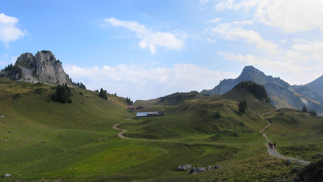
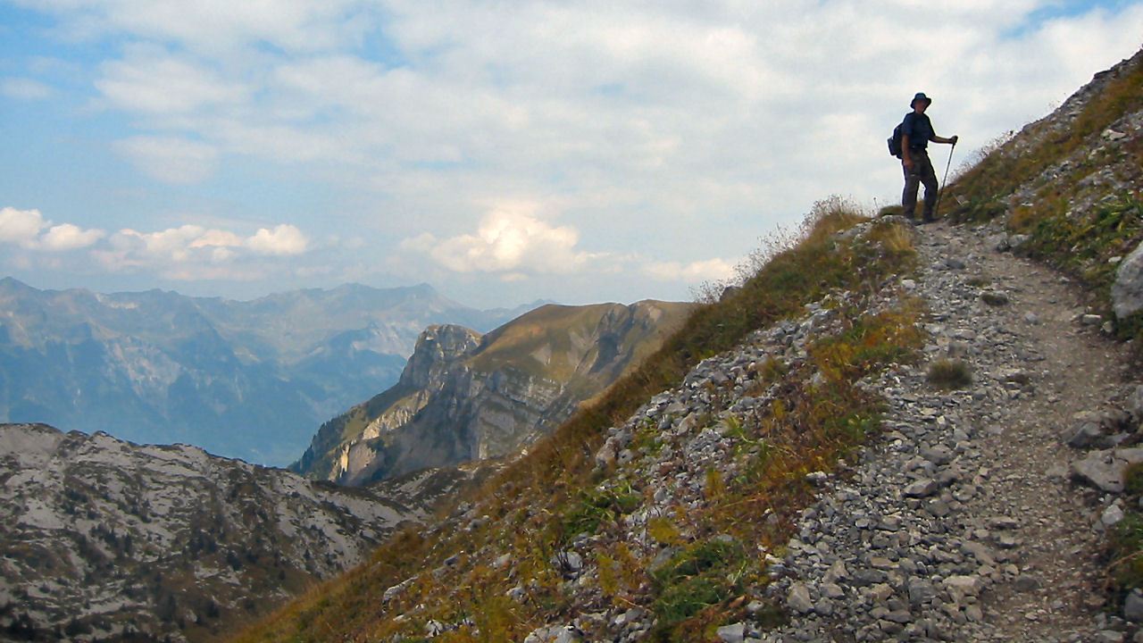
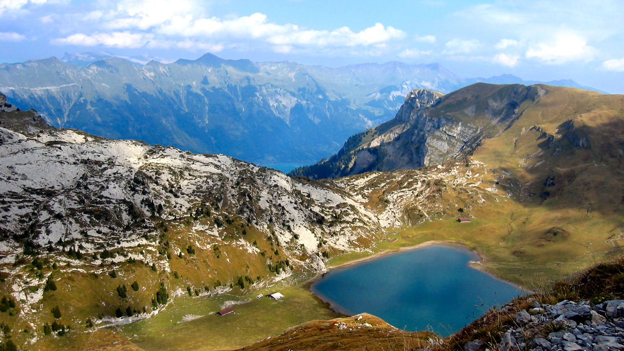
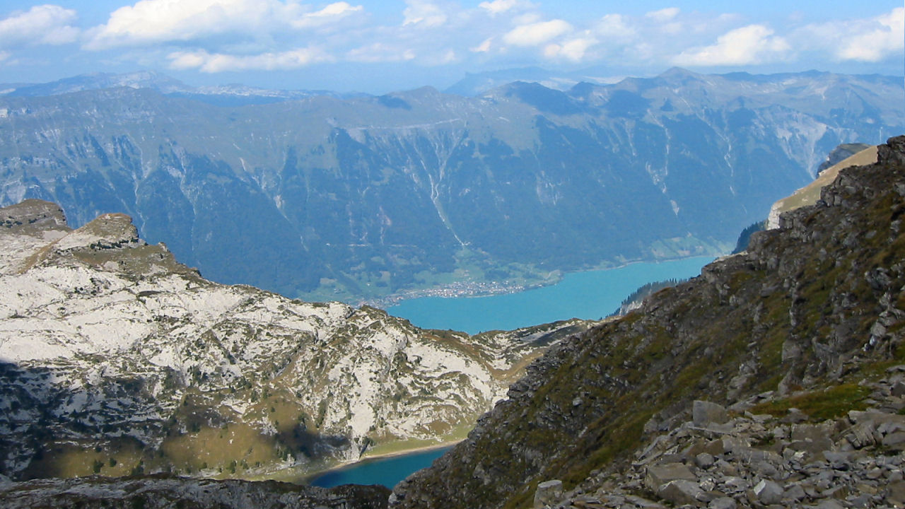
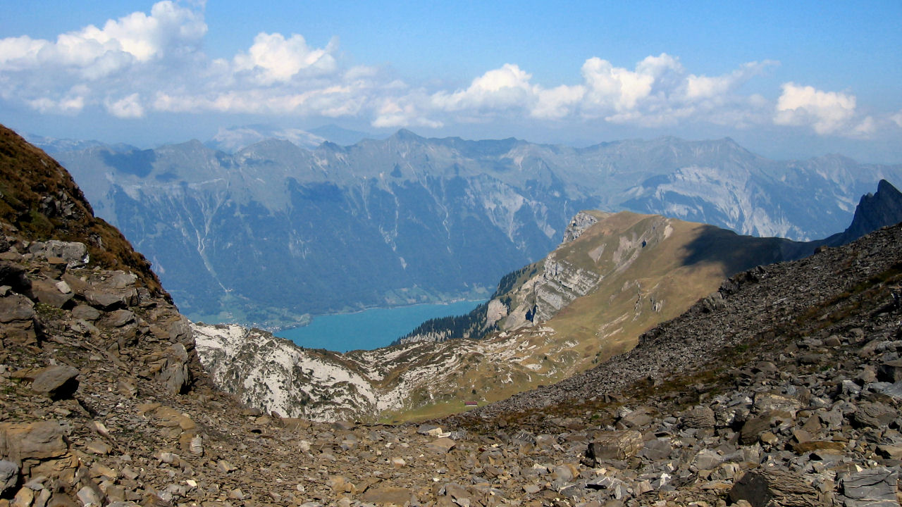
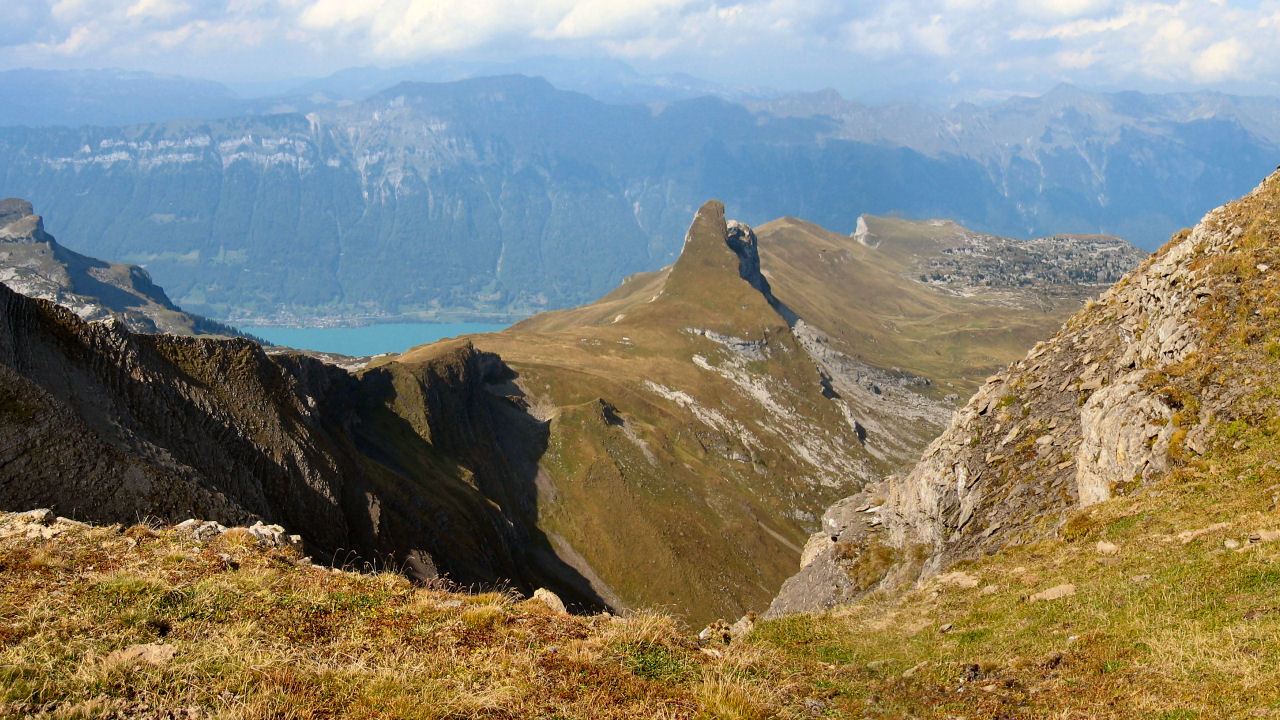
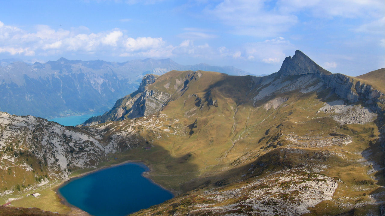
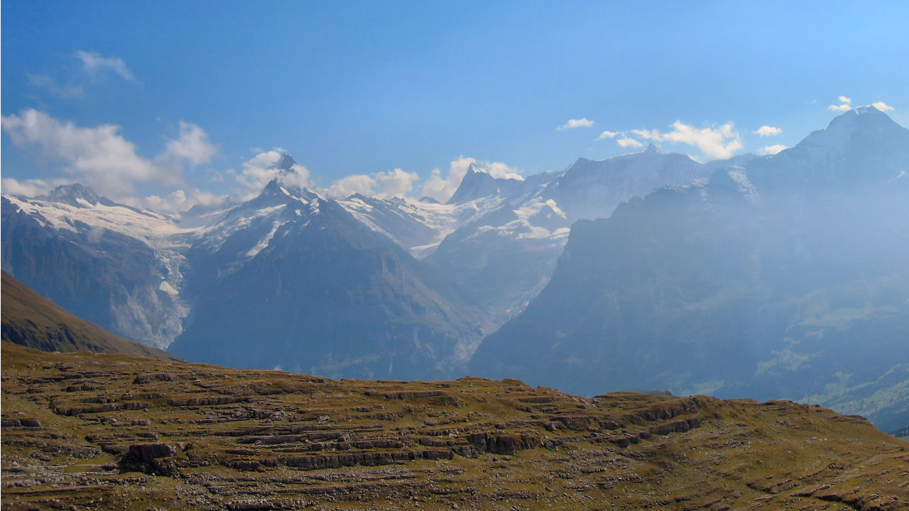
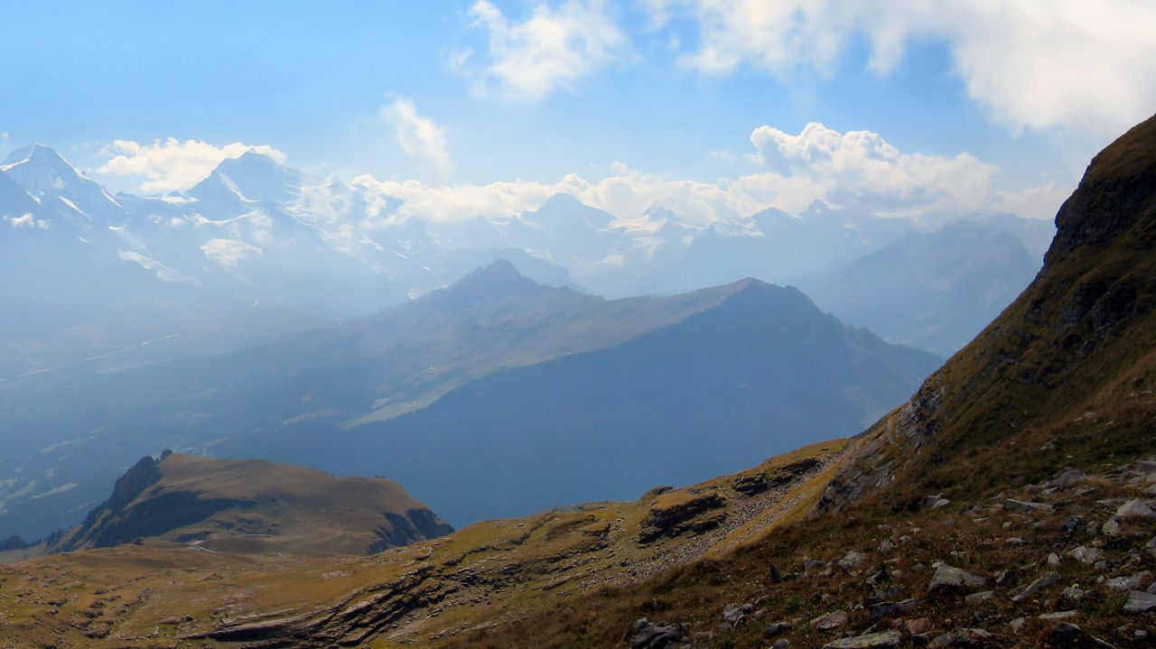
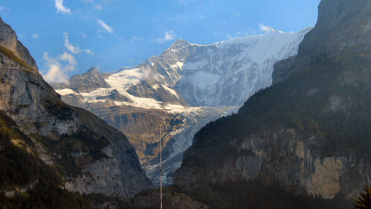
This must rank as one of the most spectacular and scenic hikes in the Jungfrau area, and offers jaw-dropping views in all directions. It's simply stunning - look down on the turquoise Brienzersee, look far along the Thunersee with the Niesen and the Niederhorn, admire the Grindelwald and Lauterbrunnen valleys, the impossibly majestic towering range of the Wetterhorn, Eiger, Mönch and Jungfrau, beautiful small lakes, wild scree-covered slopes, it has it all. For those interested, any word with "see" is a lake or sea, and any word with "horn" is a mountain.
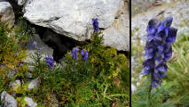
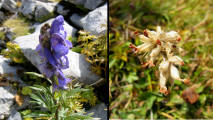
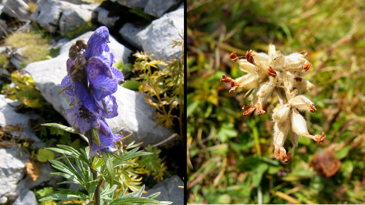
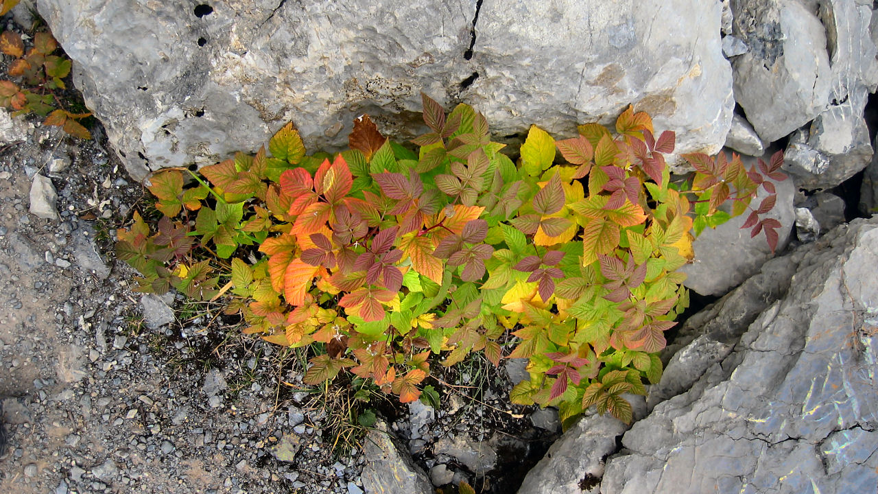
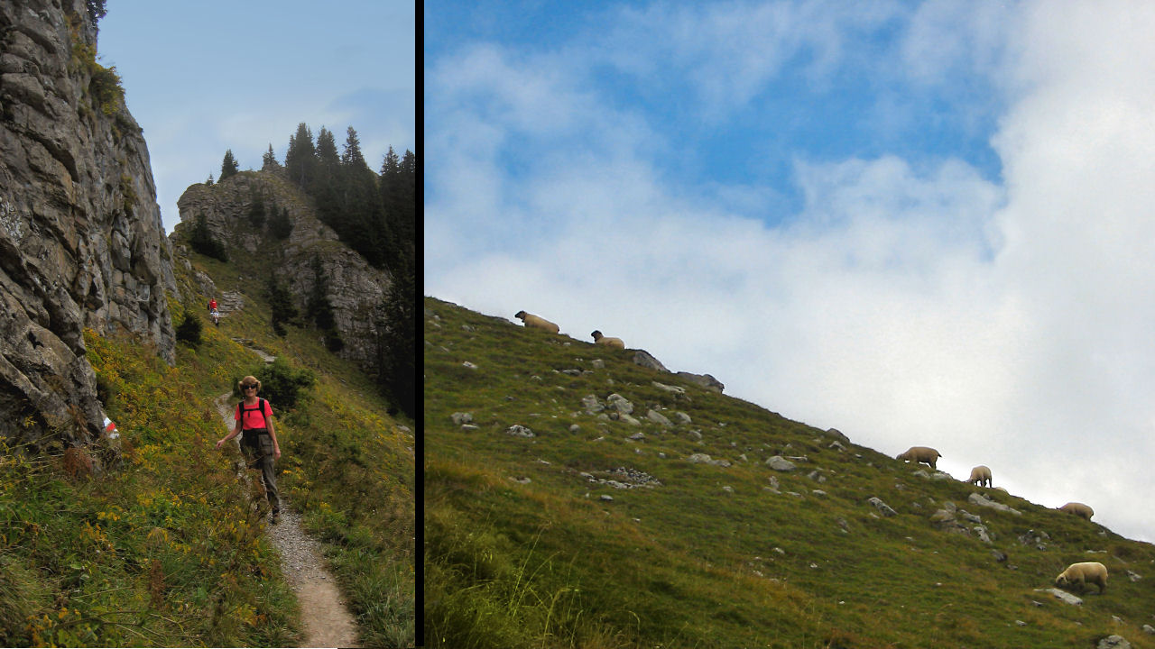
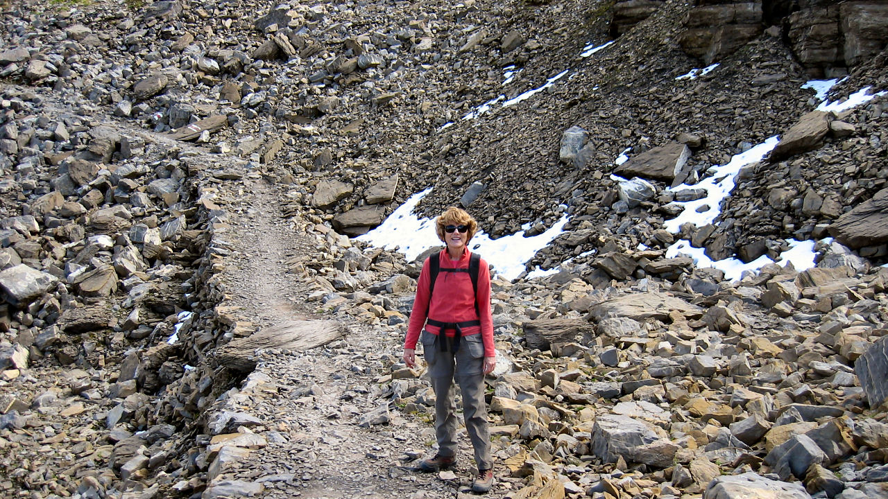
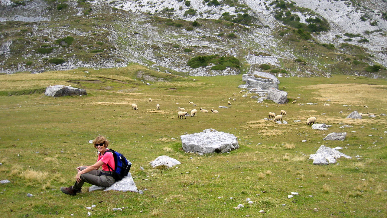
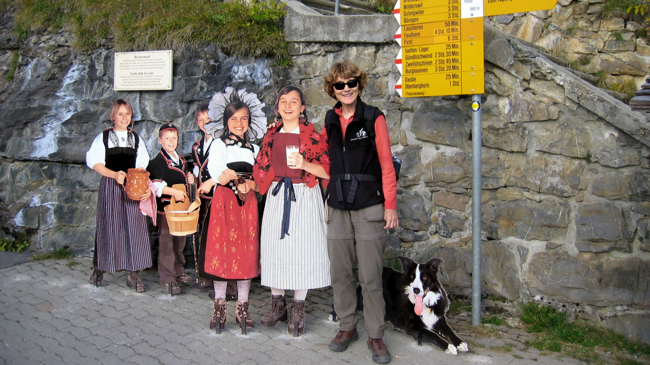
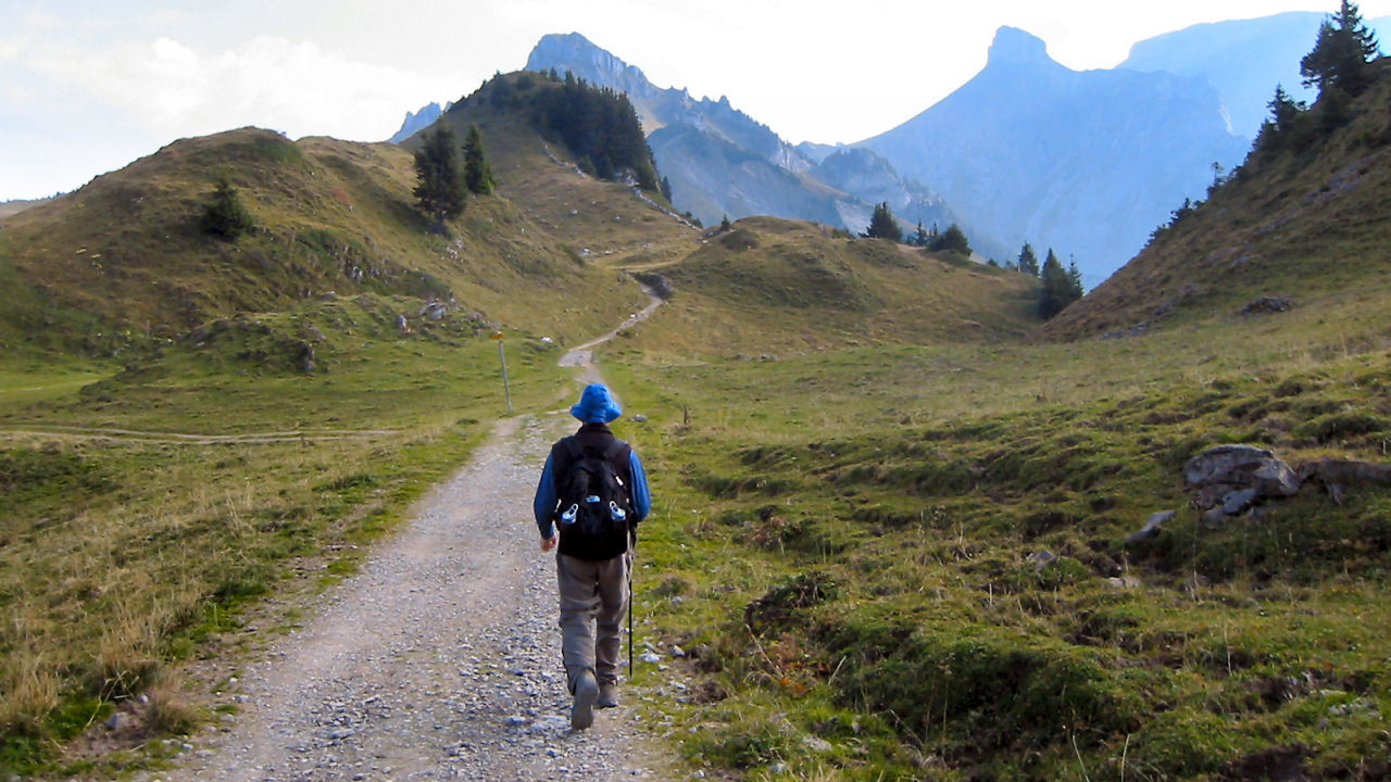
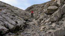
Hiking at Schynige Platte is a unique experience. The landscape that surrounds Schynige Platte is a strange combination of grit, rock and stones and beautiful green meadows that are known for its large number of alpine flowers.

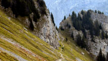
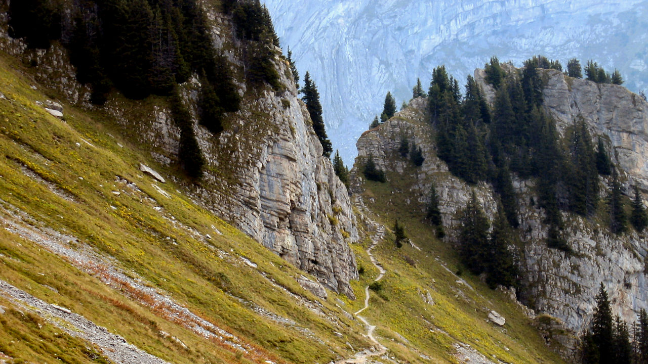
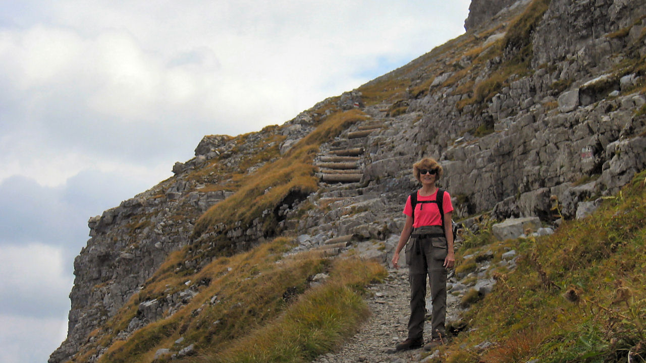
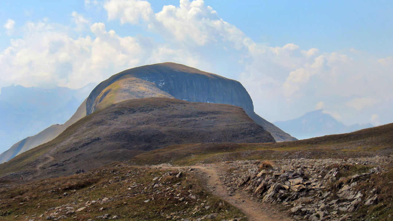
Most of the day was very cloudy but we did have sun later. Climbing up along the side of the ridge, past the clanging sheep bells, the stratified rocky cliffs contrast with the green pastures.
Lakes and mountains as far as the eye can see.


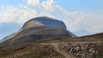
The terrain was constantly changing. We took over 300 pictures. This is just a sampling.

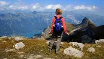
Views of Lake Brienz were awesome.

The smaller lakes were also beautiful.


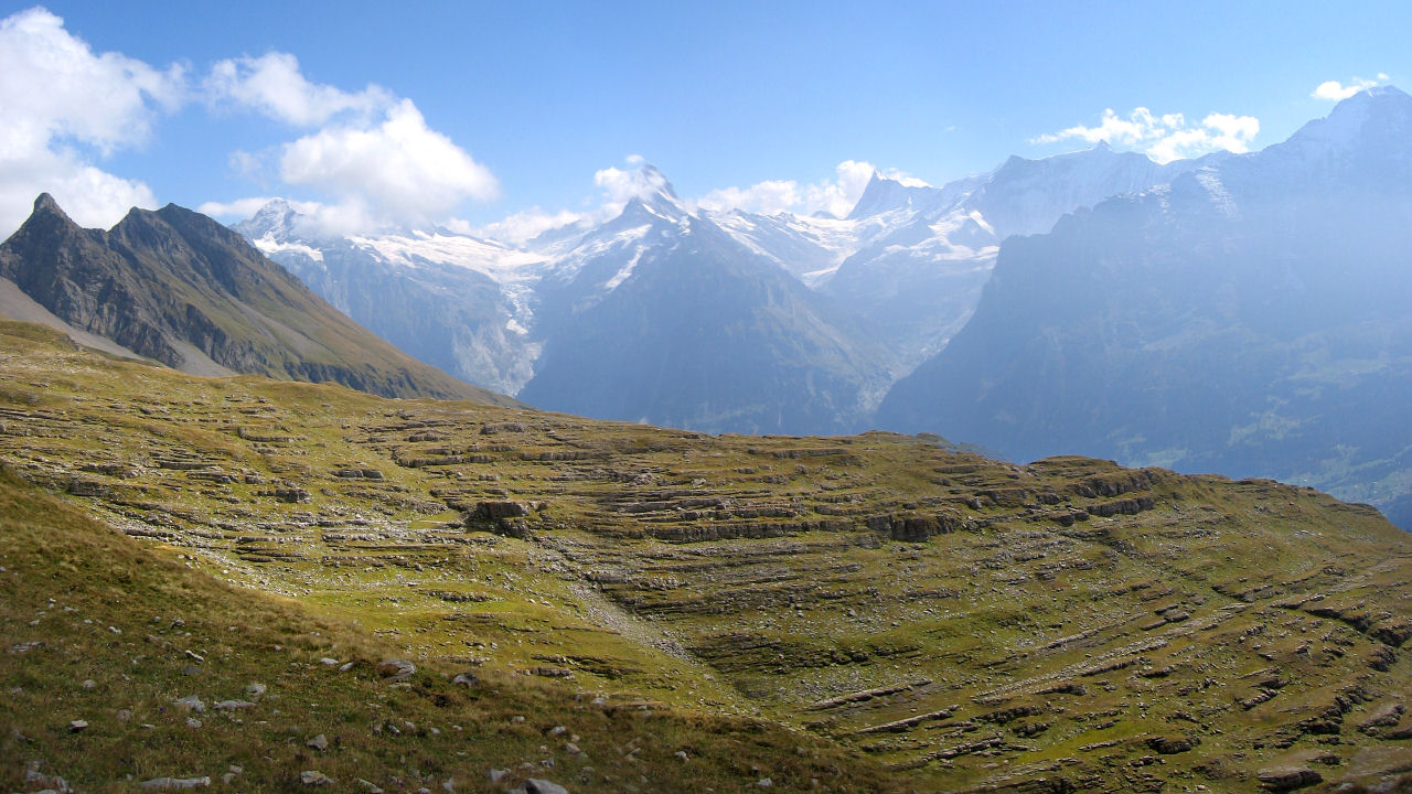
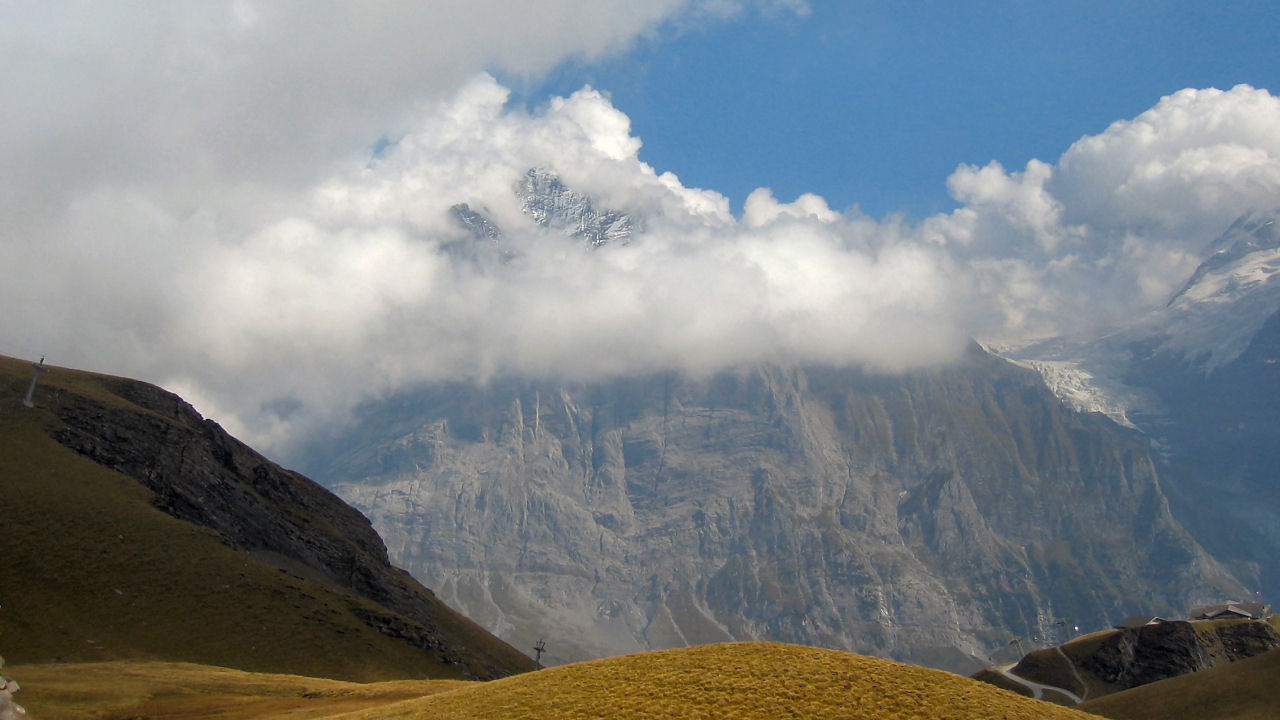
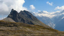
As we crossed the ridge, the clouds moved away and the snowcapped mountains emerged from the mist.
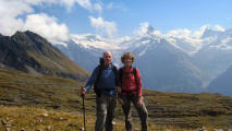

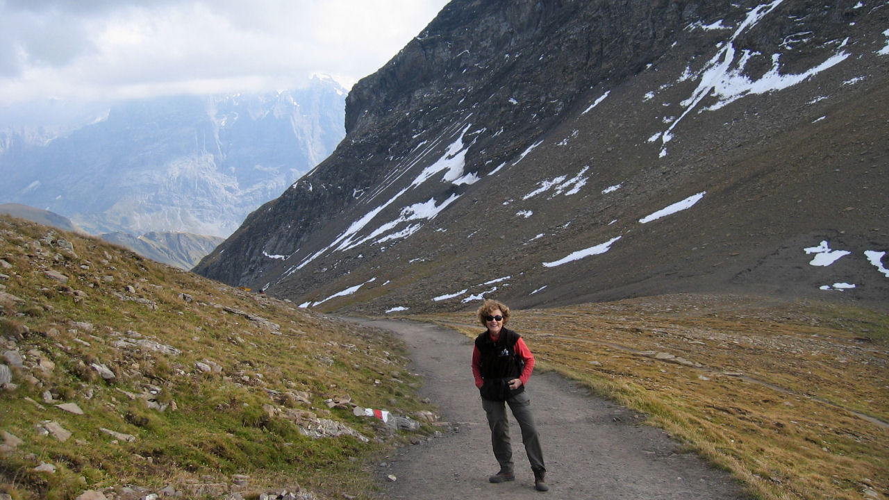
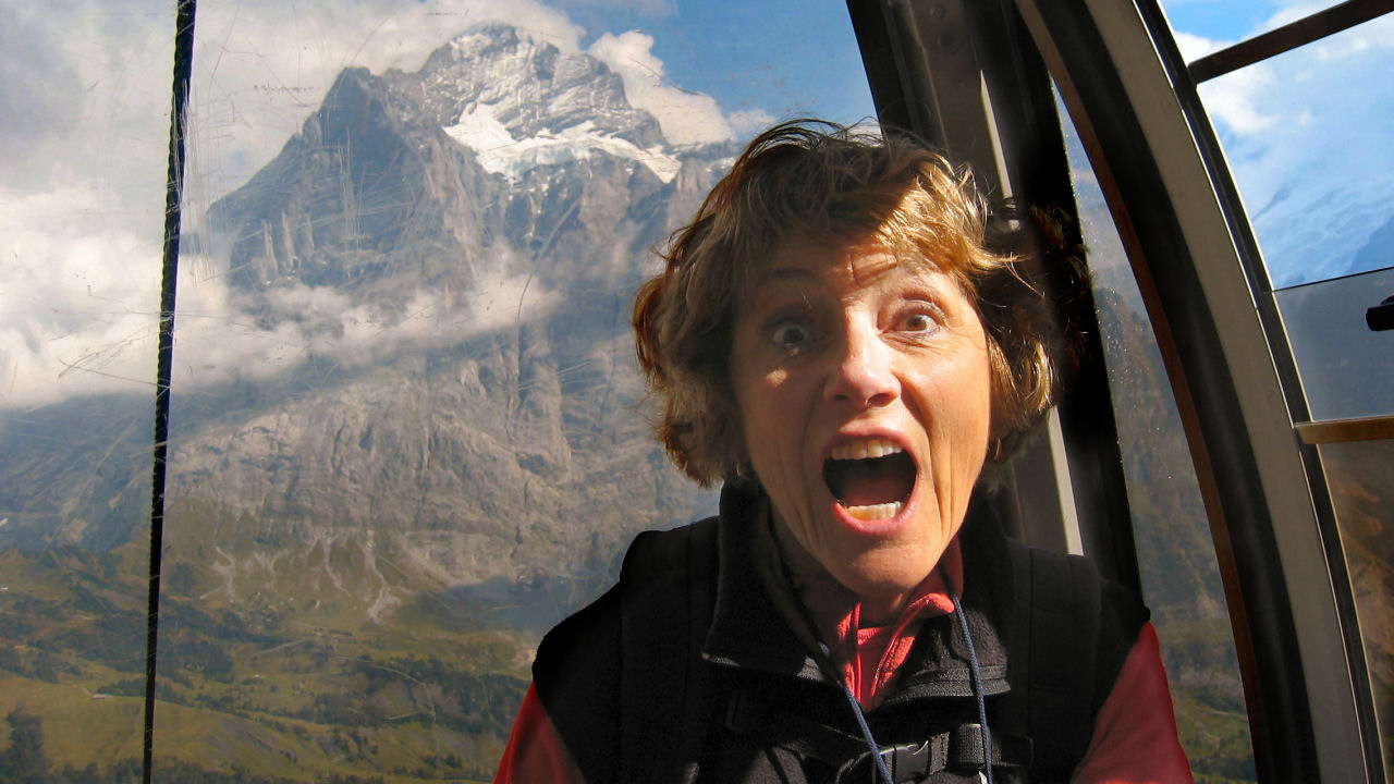
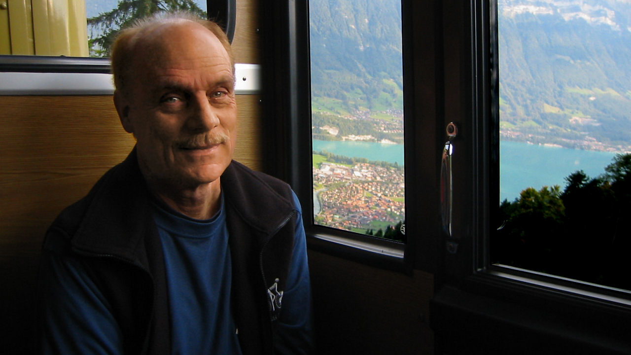
Above left - Fred and Judith Above middle & right - I split the panorama for easier viewing

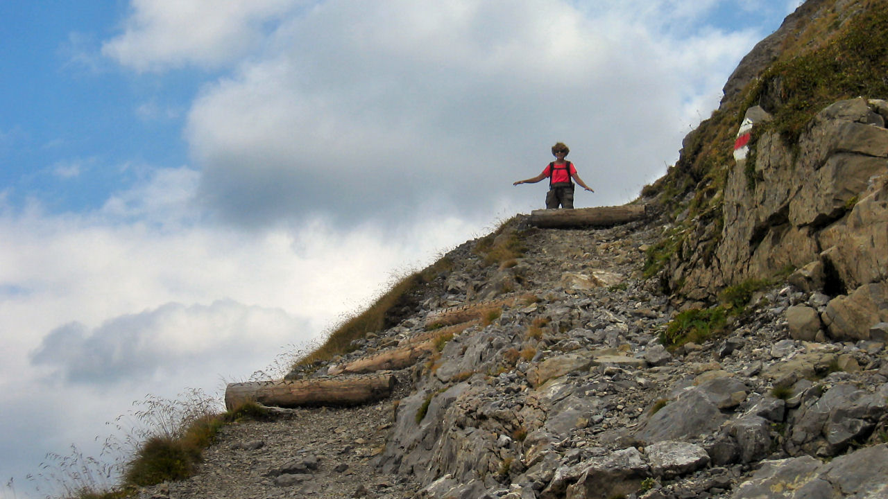
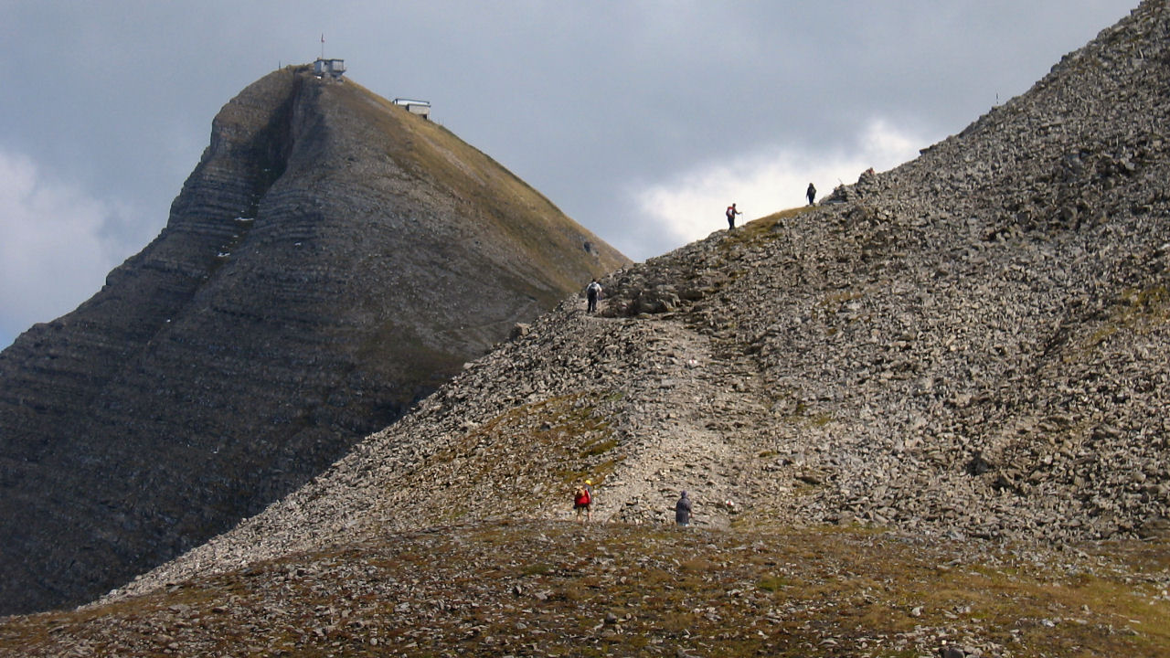
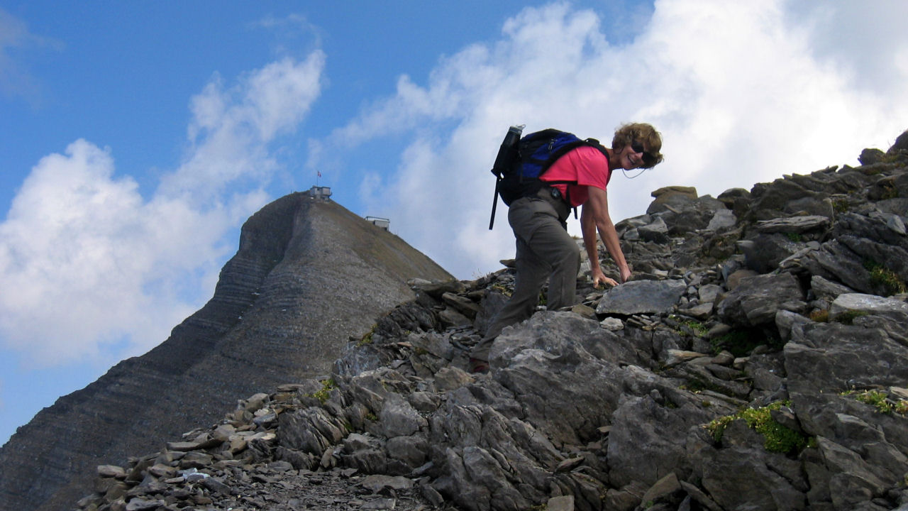
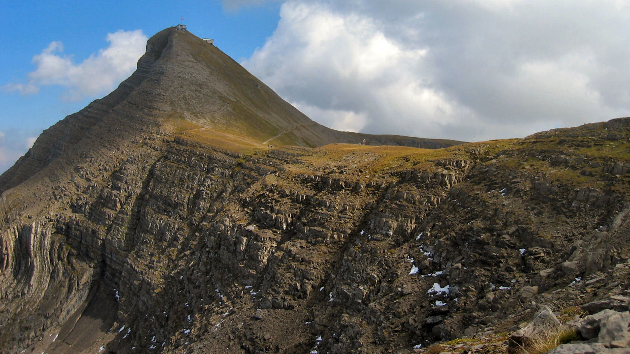
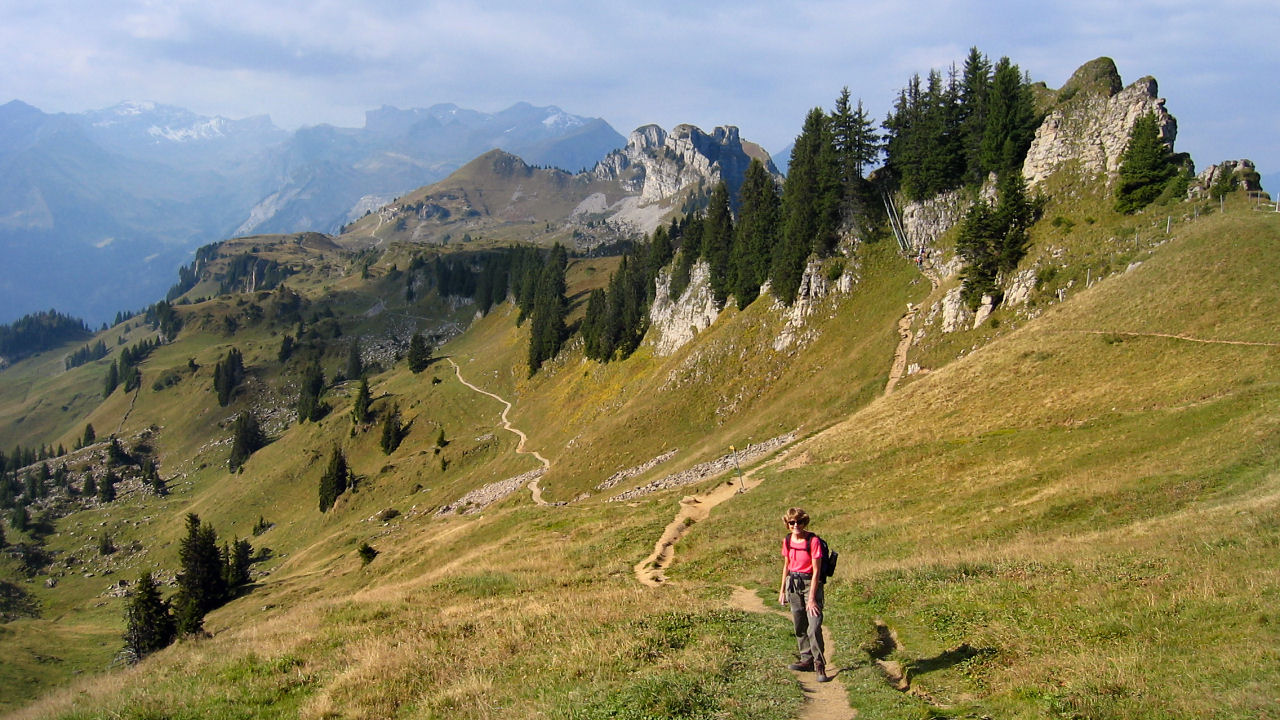
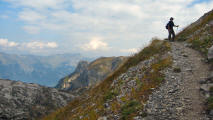
The stretch towards the Faulhorn is an exhilarating climb, with the spectacular views giving a real sense of altitude.

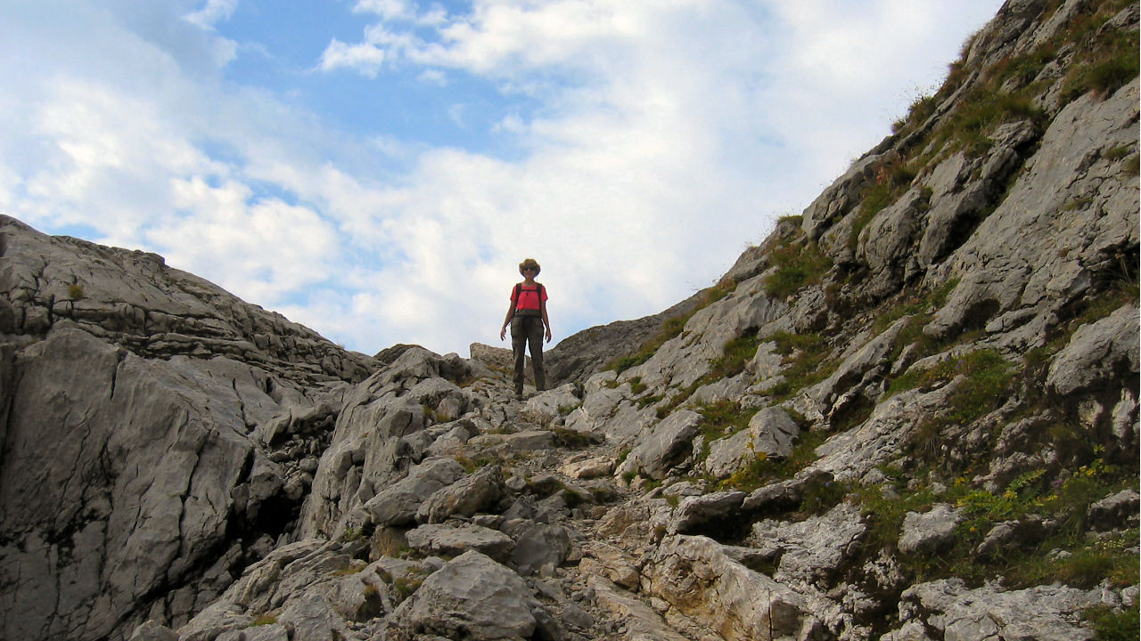
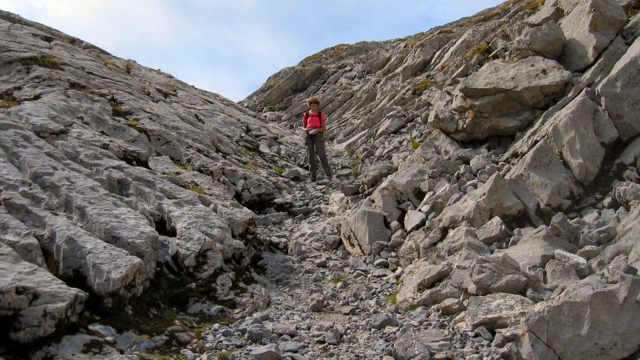
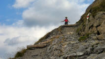
The final assault on the summit becomes quite steep (marked 'Gratweg' or ridgeway), but worth every step for the 360 degree views from the very top. The only difficult part is choosing which direction to gaze in as you catch your breath.


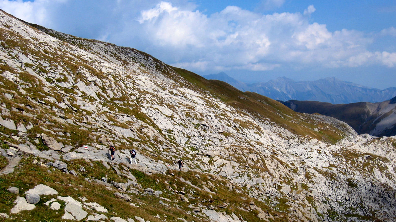
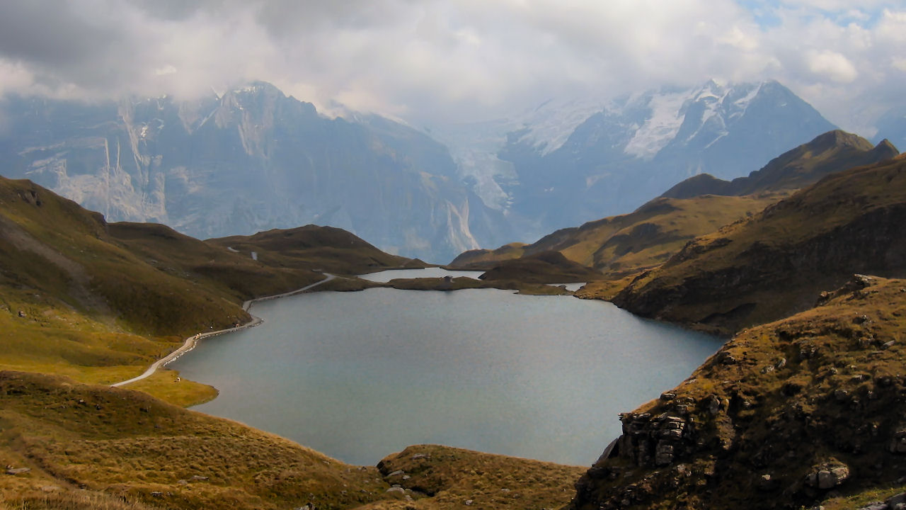
Leaving the summit down to the right, the signs for Bachalpsee and First lead you swiftly downhill past marmot colonies, until the tranquil lake seen on so many postcards comes into view.

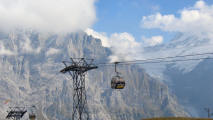
The end of the hike (if the gondola is still running!) is Grindelwald First, the top station of the long gondola ride down to Grindelwald. We timed the ride down at a half an hour! From Grindelwald we caught the train back to Wilderswil and finally Lauterbrunnen.